+7 (343) 379-08-39

Solutions
We are pleased to present our solutions which proved to be effective in the real life activities of our customers. Our digital services automate daily routines, turn tedious and time-consuming tasks into simple ones, and eventually make life of our customers easier, allowing more time for creativeness and strategy decisions.
―
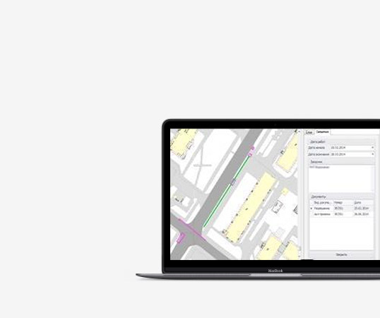
Excavation works
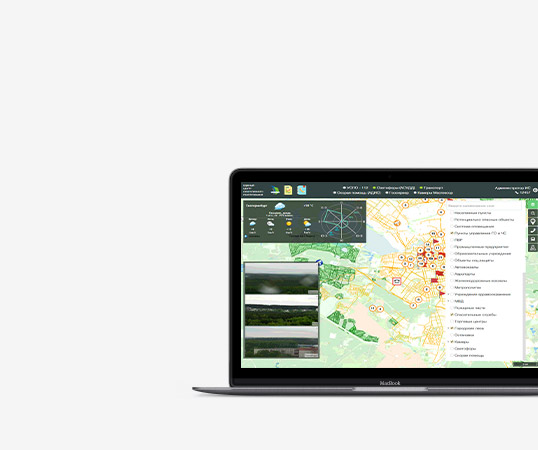
Forests and parks maintenance
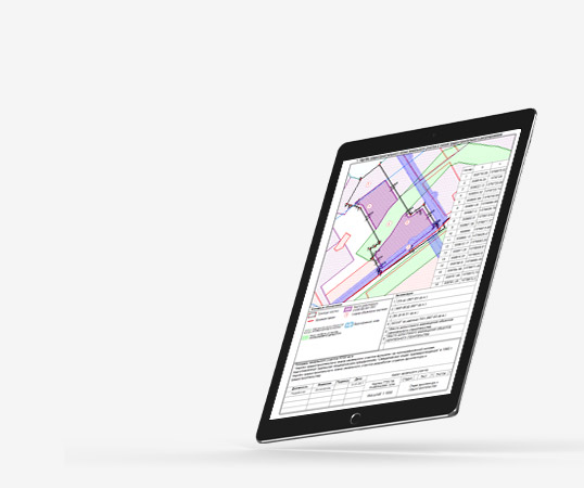
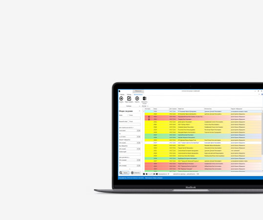
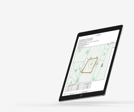
Land plot management
Why is our company exactly what you need?
Individual approach
We adapt our system just for you. We will set up execution processes, edit document templates.
1
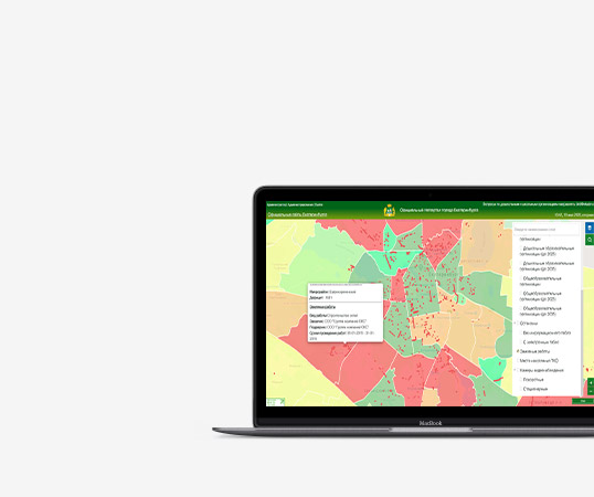
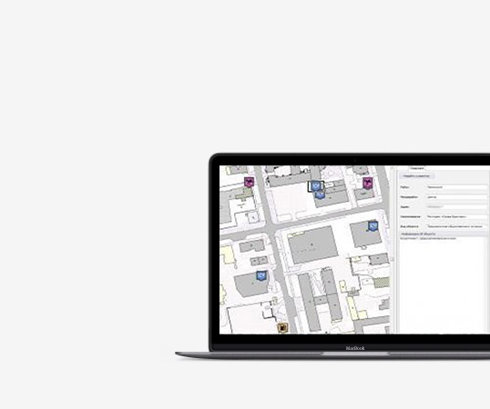
All information in one place
Orthophotomaps, general plans, urban zoning maps, cadastral data, topographic surveys and other data are loaded into the system. You can work with any data at the same time.
2
We will help you
Do you have a question about working in the system? Have you got a new employee and needs to be trained? Technical support specialists will always help you.
3
Better and better
We do not stop there. Every day our employees work on new system features.
4
Professionals work
Every week, our employees attend thematic seminars, deepening their knowledge of the subject area.
5
Contacts
620072
Russia, Ekaterinburg,
Visockogo st., 4b, 21
-
Tel: +7 (343) 379-08-39
E-mail: support@grad-info.org
Russia, Ekaterinburg,
Visockogo st., 4b, 21
-
Tel: +7 (343) 379-08-39
E-mail: support@grad-info.org
© 2021 GradINFO
Solutions
Contacts
Call back
Leave your phone number and our specialist will call you back
Do you have any questions?
Contact us by phone +7 (343) 379-08-39, or send a question to a specialist.